
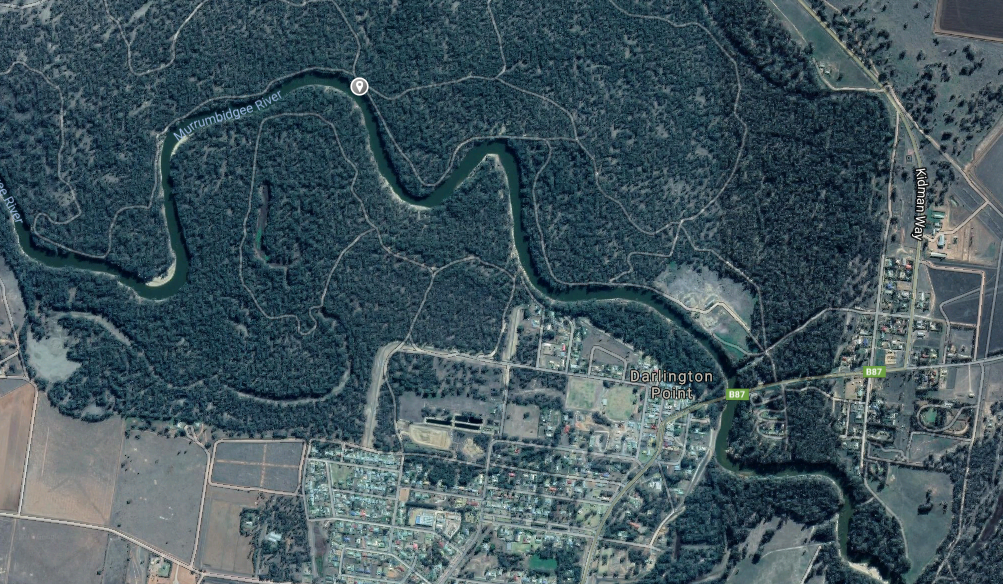
Above – Murrumbidgee River downstream from our camp
February 8, 2019
Our third and last night here tonight where the weather has been a little mixed again. Each afternoon we have had mild thunder and light rainfall but today is cloudy already (11am) and the thunder rolling by to our South. The forecast is only for 2-8mm of rain so no real deluge coming!
The camping area here is on the Northern bank of the Murrumbidgee (There is camping also on the South side where we stayed in 2016) and is within the Murrumbidgee Regional Park (used to be the Willbrigee State Forest). There is a sort of “formal” camp area at a small toilet about two kms in from the main road (Kidman Way) and we are a few hundred metres further along the river. You can camp anywhere which is suitable and the road (Forest Drive) continues all the way through to emerge on a local sealed road to Carrathool at the far North Western corner.
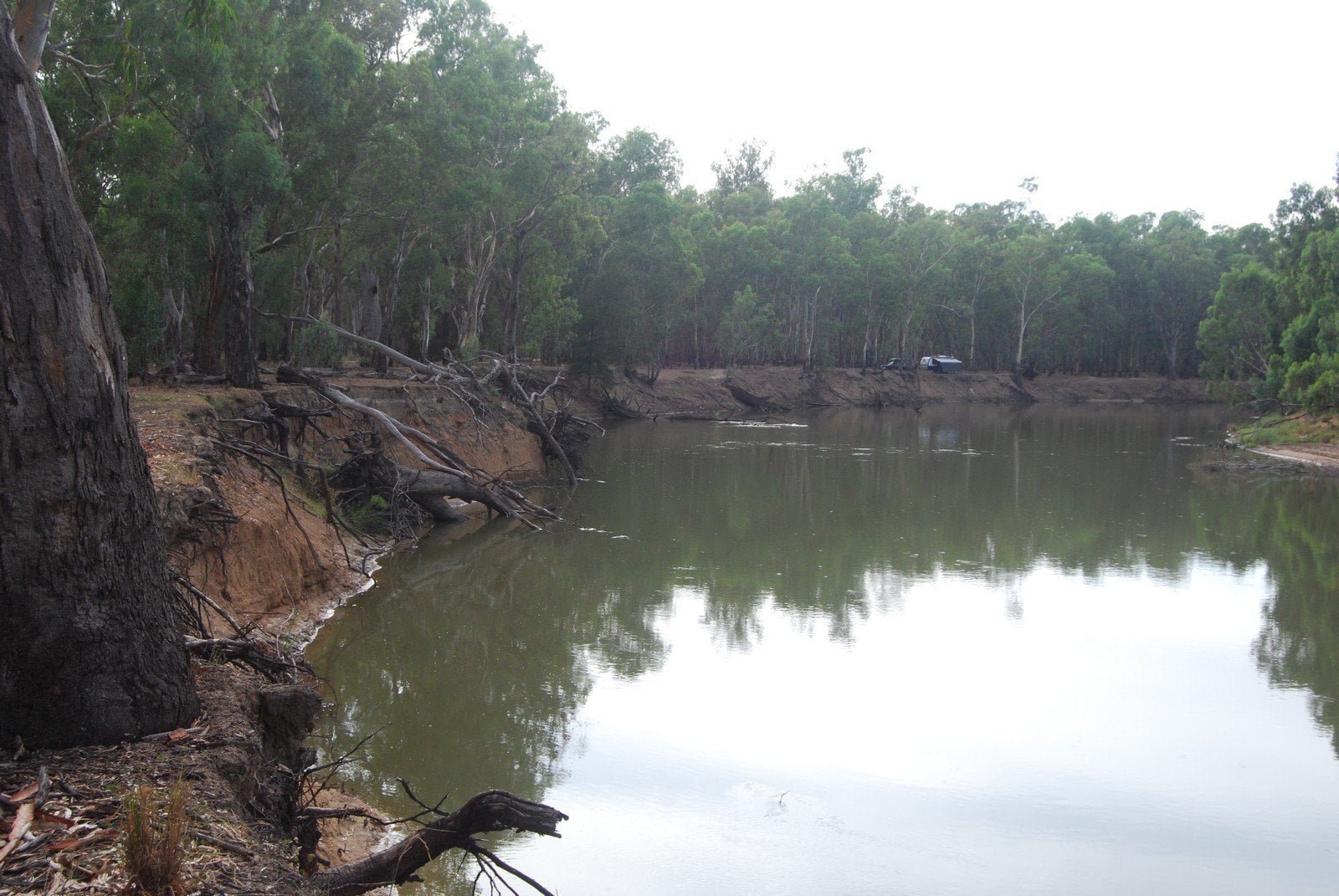
We appear to have camped on a well used cattle trail and are passed by each afternoon, the leader passes straight past our awning but the rest take a detour around us.


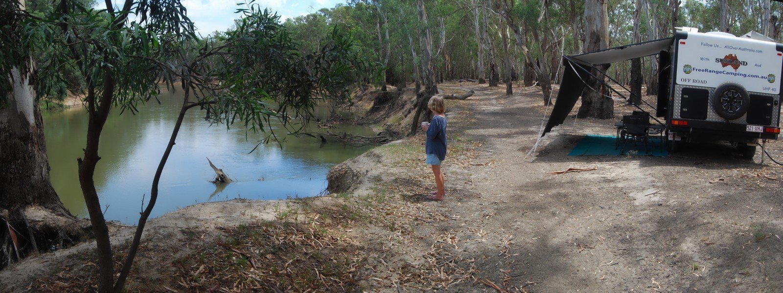
A walk along the River finds another couple of good camping spots including a beach area which hosts the “Thong Tree”


Tomorrow we plan to move down to the Murray and somewhere near Tocumwal…