At the Southern end of Lake Pedder are Scotts Peak Dam, which bridges the Huon River and the smaller Edgar Dam, positioned to maintain the required water level in the two lakes. Lake Pedder and Lake Gordon are, in fact, designed as a single water storage with a surface area of over 500 square kilometers; they are joined together by a canal which you pass over about halfway along the side of Lake Pedder. The output from this resource is channeled through the Gordon Power Station seen in the previous post.
The route to Edgar Dam, and a little further to Scotts Peak Dam, includes 35km of gravel road and along the way is the short but interesting Creepy Crawly Nature Trail. This is a 20 minute return boardwalk which weaves through and under tree branches and s very different from any other walk because of this. It includes descriptive signs of some of the trees which are more commonly found here than possibly in other parts of the State.
Creepy Cawly Trail.001 10h31m01s2020 01 15
Creepy Cawly Trail.001 10h31m01s2020 01 15
Creepy Cawly Trail.002 10h31m14s2020 01 15
Creepy Cawly Trail.002 10h31m14s2020 01 15
Creepy Cawly Trail.003 10h32m01s2020 01 15
Creepy Cawly Trail.003 10h32m01s2020 01 15
Creepy Cawly Trail.015 10h39m26s2020 01 15
Creepy Cawly Trail.015 10h39m26s2020 01 15
Creepy Cawly Trail.004 10h32m48s2020 01 15
Creepy Cawly Trail.004 10h32m48s2020 01 15
Creepy Cawly Trail.018 10h41m23s2020 01 15
Creepy Cawly Trail.018 10h41m23s2020 01 15
Creepy Cawly Trail.007 10h33m50s2020 01 15
Creepy Cawly Trail.007 10h33m50s2020 01 15
Creepy Cawly Trail.008 10h34m09s2020 01 15
Creepy Cawly Trail.008 10h34m09s2020 01 15
Creepy Cawly Trail.009 10h34m37s2020 01 15
Creepy Cawly Trail.009 10h34m37s2020 01 15
Creepy Cawly Trail.010 10h35m18s2020 01 15
Creepy Cawly Trail.010 10h35m18s2020 01 15
Creepy Cawly Trail.011 10h36m20s2020 01 15
Creepy Cawly Trail.011 10h36m20s2020 01 15
Creepy Cawly Trail.012 10h37m29s2020 01 15
Creepy Cawly Trail.012 10h37m29s2020 01 15
Creepy Cawly Trail.013 10h38m16s2020 01 15
Creepy Cawly Trail.013 10h38m16s2020 01 15
Creepy Cawly Trail.014 10h39m21s2020 01 15
Creepy Cawly Trail.014 10h39m21s2020 01 15
Creepy Cawly Trail.022 10h42m17s2020 01 15
Creepy Cawly Trail.022 10h42m17s2020 01 15
Creepy Cawly Trail.016 10h39m36s2020 01 15
Creepy Cawly Trail.016 10h39m36s2020 01 15
Creepy Cawly Trail.017 10h40m00s2020 01 15
Creepy Cawly Trail.017 10h40m00s2020 01 15
After the brief stop the Scotts Peak Dam Road passes through the forests for a while and then the scenery opens up with views of the ranges to the South and East.
At Edgar Dam is a well established campground with composting toilets, lots of Picnic tables, fireplaces (but currently under fire ban), and rubbish bins; there are also two picnic shelters and short paths to the edge of the water on what is known as Edgar Pond; this is a small “lake” downstream from the dam itself and seen also in the photos from the causeway. Opposite the campground is a boat ramp into Lake Pedder.
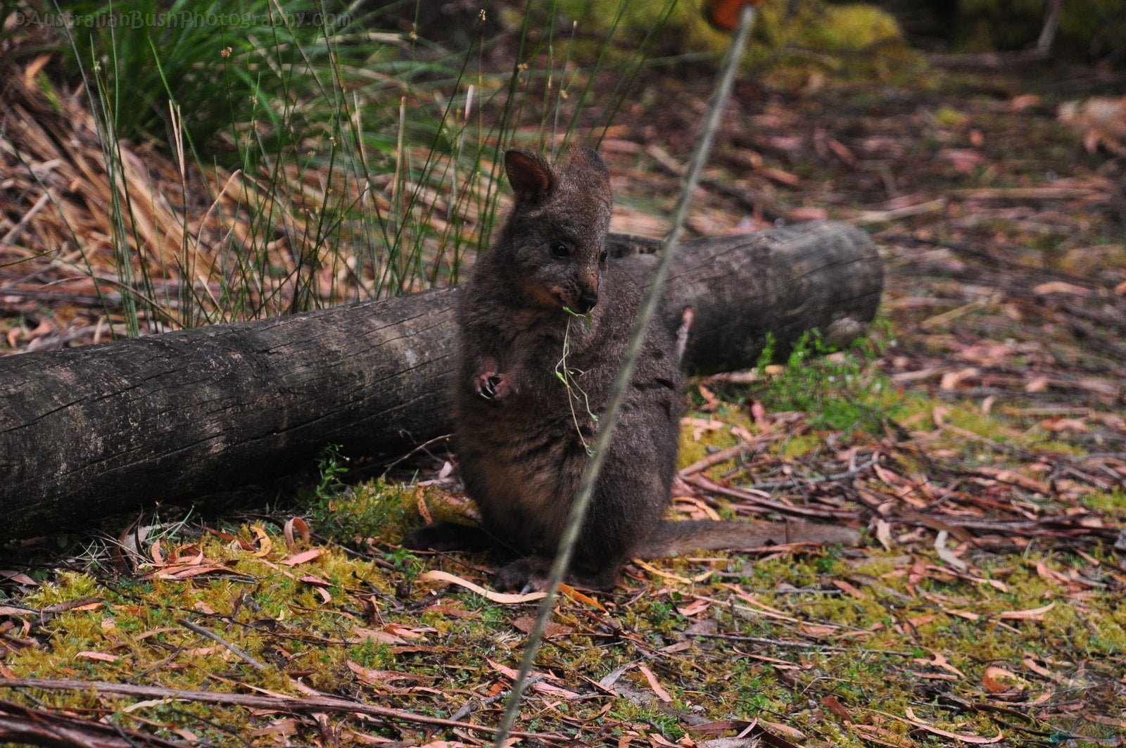
The Pademelons here were particularly tame, venturing right into our awning area, mostly this mother and joey who is obviously not quite weaned yet, seen feeding from mum as well as grazing before disappearing into the bush.
A further 7km along Scotts Peak Road is the Scotts Peak Dam and a turnoff to the Huon Campground; this is a very small area with an older drop toilet and very little space for a caravan. This location also has a car park as it marks one end of the Port Davey Track. The really experienced walkers can link this with the South Coast Track and walk all the way between here and Cockle Creek. The Scotts Peak Dam is placed across the original course of the Huon River and the images here show the Huon at it’s new beginning below the dam wall. Scotts Peak is actually now the second largest island about 3km offshore from the dam itself. The largest is Mt. Solitary seen beyond Scotts Peak.